대표어
권호기사보기
| 기사명 | 저자명 | 페이지 | 원문 | 기사목차 |
|---|
결과 내 검색
동의어 포함
목차
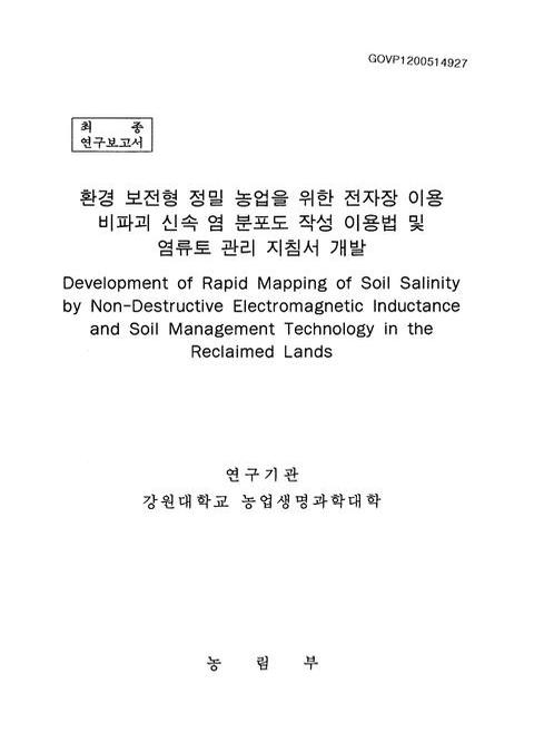
표제지=0,1,1
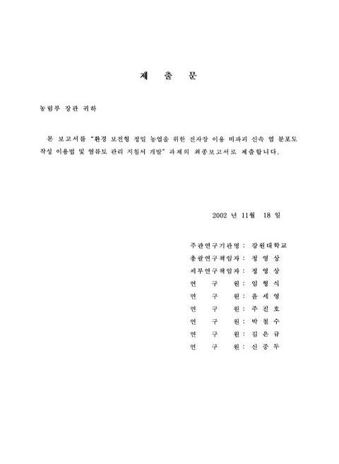
제출문=0,2,1
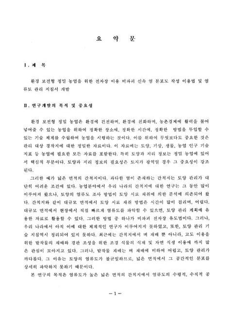
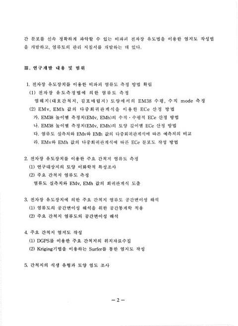
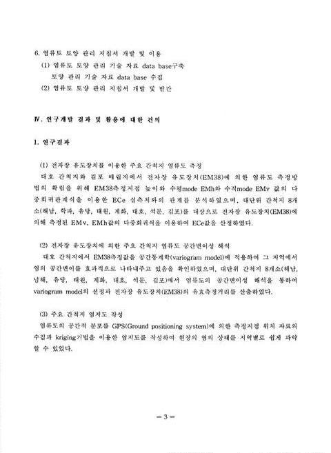
요약문=1,3,4
SUMMARY=5,7,4
CONTENTS=9,11,2
목차=11,13,2
제1장 총론=13-1,15,2
제1절 연구개발의 필요성=13,16,7
제2절 연구개발의 목표 및 내용=19,22,2
제3절 추진전략=21,24,1
제4절 기대효과 및 활용방안=22,25,3
제5절 연구기간 및 연구진의 구성=25,28,1
제2장 전자장 유도장치를 이용한 비파괴 염류도 측정방법 확립=26,29,2
제1절 서론=27,30,4
제2절 연구 수행 방법=30,33,6
제3절 전자장 유도 측정법(EM38)에 의한 염류도 측정=36,39,4
제4절 EMv EMh 값의 다중회귀 관계식을 이용한 ECe 산정=40,43,22
제5절 EM38측정치에 의한 용탈층 집접층의 구분=62,65,2
제6절 포화 침출액(ECe)와 토양용액의 EC(1:5)와의 비교=63,66,4
제3장 전자장 유도 장치를 이용한 주요 간척지의 염류도 측정=67-1,70,2
제1절 서론=67,71,3
제2절 연구 수행 방법=69,73,2
제3절 간척지 토양의 이화학적 특성=71,75,10
제4절 전자장 유도 장치를 이용한 주요 간척지 토양의 염류도 측정=80,84,10
제4장 전자장 유도장치(EM38)에 의한 주요 간척지 염류도 공간변이성 해석=90,94,2
제1절 서론=91,95,5
제2절 연구 수행 방법=96,100,1
제3절 염류도의 공간변이성 해석을 위한 공간통계학의 적용=97,101,6
제4절 주요 간척지 염류도의 공간변이성 해석=103,107,7
제5장 주요 간척지 염지도 작성=111-1,114,2
제1절 서론=111,115,2
제2절 연구 수행 방법=112,116,2
제3절 주요 간척지 염지도 작성=113,117,16
제6장 식생발생 유형과 토양 염도=129-1,133,2
제1절 서론=129,134,1
제2절 연구 수행 방법=129,134,2
제3절 결과 및 고찰=130,135,19
제7장 염류 토양과 관개수의 관리 지침서 개발=149-1,154,2
제1절 서론=149,155,2
제2절 우리 나라 간척지 토양의 특성=151,157,9
제3절 토양의 염류도와 나트륨 염성=159,165,14
제4절 관개수의 염류도와 수질=173,179,9
제5절 제염과 용탈요구량=181,187,15
제6절 지하수 상승에 따른 염류화=195,201,10
제7절 염류도에 대한 작물의 내염성과 재배관리=204,210,16
참고문헌=220,226,9
영문목차
[title page etc.]=0,1,10
CONTENTS=9,11,4
Chapter 1. General Description=13-1,15,2
Section 1. Necessity of the study=13,16,7
Section 2. Purpose and scopes of the study=19,22,2
Section 3. Implementation strategies=21,24,1
Section 4. Recommendations=22,25,3
Section 5. Research period and team=25,28,1
Chapter 2. Establishment of measurement of soil salinity by non-destructive electromagnetic inductance=26,29,2
Section 1. Introduction=27,30,4
Section 2. Materials and methods=30,33,6
Section 3. Measurement of soil salinity by using the electromagnetic inductance technique=36,39,4
Section 4. Estimation of regression equations between EMv,EMh and ECe=40,43,22
Section 5. Classification of eluvial and illuvial horizon by EM38 value=62,65,2
Section 6. Comparison of ECe and EC(1:5)=63,66,4
Chapter 3. Measurement of soil salinity by using the electromagnetic inductance technique in the surveyed reclaimed land=67-1,70,2
Section 1. Introduction=67,71,3
Section 2. Materials and method=69,73,2
Section 3. Physical and chemical properties of reclaimed land soils=71,75,10
Section 4. Measurement of soil salinity by EM38 in the surveyed reclaimed land=80,84,10
Chapter 4. Analysis of spatial variability of soil salinity by using EM38 in the surveyed reclaimed land=90,94,2
Section 1. Introduction=91,95,5
Section 2. Materials and methods=96,100,1
Section 3. Application of geostatistics for analysis of spatial variability=97,101,6
Section 4. Analysis of spatial variability in the surveyed reclaimed land=103,107,7
Chapter 5. Mapping of soil salinity in the surveyed reclaimed land=110,114,2
Section 1. Introduction=111,115,2
Section 2. Materials and methods=112,116,2
Section 3. Mapping of soil salinity in the surveyed reclaimed land=113,117,16
Chapter 6. Natural vegetation patterns and soil salinity=129-1,133,2
Section 1. Introduction=129,134,1
Section 2. Materials and methods=129,134,2
Section 3. Results and discussion=130,135,19
Chapter 7. Development and use of a salinity management guide=149-1,154,2
Section 1. Introduction=149,155,2
Section 2. Soil properties in reclaimed tidal land=151,157,9
Section 3. soil salinity and sodicity=159,165,14
Section 4. Irrigation water quality and salinity=173,179,9
Section 5. Desalinizarion and leaching requirement=181,187,15
Section 6. Salinity Salinization by ground water table rise=195,201,10
Section 7. Salt tolerance of crops depending on salinity and cultivation management=204,210,16
References=220,226,9
jpg
Fig. 3-2. Spatial distribution map of soil hardness(surface soil) using penetrometer in the Kimpo reclaimed land.=77,81,1
Fig. 3-3. Spatial distribution map of soil hardness(surface soil) using penetrometer in the Daeho reclaimed land.=77,81,1
Fig. 5-8. Spatial distribution map of predicted ECe(0~10cm) using EM38 in the Hakpa reclaimed land.=117,121,1
Fig. 5-9. Spatial distribution map of predicted ECe(60~80cm) using EM38 in the Hakpa reclaimed land.=118,122,1
Fig. 5-10. Spatial distribution map of predicted ECe(0~10cm) using EM38 in the Yudang reclaimed land.=119,123,1
Fig. 5-11. Spatial distribution map of predicted ECe(60~80cm) using EM38 in the Yudang reclaimed land.=119,123,1
Fig. 5-12. Spatial distribution map of predicted ECe(0~10cm) using EM38 in the Taewon reclaimed land.=120,124,1
Fig. 5-13. Spatial distribution map of predicted ECe(60~80cm) using EM38 in the Taewon reclaimed land.=120,124,1
Fig. 5-14. Spatial distribution map of predicted ECe(0~10cm) using EM38 in the Seokmun reclaimed land.=121,125,1
Fig. 5-15. Spatial distribution map of predicted ECe(60~80cm) using EM38 in the Seokmun reclaimed land.=121,125,1
Fig. 5-16. Spatial distribution map of predicted ECe(0~10cm) using EM38 in the Haenam reclaimed land.=122,126,1
Fig. 5-17. Spatial distribution map of predicted ECe(60~80cm) using EM38 in the Haenam reclaimed land.=123,127,1
Fig. 5-18. Spatial distribution map of predicted ECe(0~10cm) using EM38 in the Gyehwa reclaimed land.=124,128,1
Fig. 5-19. Spatial distribution map of predicted ECe(60~80cm) using EM38 in the Gyehwa reclaimed land.=124,128,1
Fig. 5-20. Spatial distribution map of predicted ECe(0~10cm) using EM38 in the Daeho reclaimed land.=125,129,1
Fig. 5-21. Spatial distribution map of predicted ECe(60~80cm) using EM38 in the Daeho reclaimed land.=126,130,1
Fig. 5-22. Spatial distribution map of predicted ECe(0~10cm) using EM38 in the Kimpo reclaimed land.=127,131,1
Fig. 5-23. Spatial distribution map of predicted ECe(60~80cm) using EM38 in the Kimpo reclaimed land.=128,132,1
Fig. 6-16. The distribution of soil salinity and vegetation in Daeho.=139,144,1
*표시는 필수 입력사항입니다.
| 전화번호 |
|---|
| 기사명 | 저자명 | 페이지 | 원문 | 기사목차 |
|---|
| 번호 | 발행일자 | 권호명 | 제본정보 | 자료실 | 원문 | 신청 페이지 |
|---|
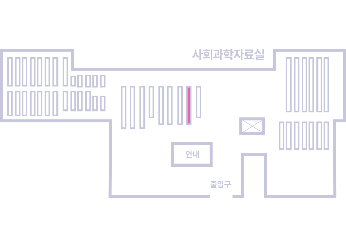
도서위치안내: / 서가번호:
우편복사 목록담기를 완료하였습니다.
*표시는 필수 입력사항입니다.
저장 되었습니다.