대표어
권호기사보기
| 기사명 | 저자명 | 페이지 | 원문 | 기사목차 |
|---|
결과 내 검색
동의어 포함
목차
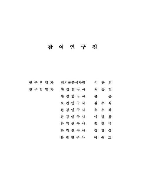
[표제지 등]=0,1,2
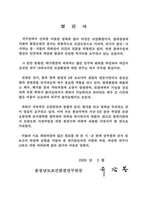
발간사=0,3,1
연구보고서 요약=i,4,7
Contents=viii,11,3
List Of Tables=xi,14,1
List Of Figures=xii,15,2
List Of Photos=xiv,17,1
제1장 서론=1,18,2
1.1. 연구 배경 및 필요성=3,20,2
1.2. 연구 목적=4,21,3
제2장 토양환경 일반현황=7,24,3
2.1. 토양 오염물질=9,26,2
2.2. 토양 오염기준=10,27,3
2.3. 토양 오염원=12,29,1
2.3.1. 휴ㆍ폐광산=12,29,6
2.3.2. 폐기물 매립장=17,34,4
2.3.3. 산업단지 및 기타=20,37,2
2.4. 우리 나라의 토양환경 관리체계=21,38,6
제3장 연구 범위 및 방법=27,44,2
3.1. 연구 범위=29,46,6
3.2. 연구 방법=34,51,1
3.2.1. 시료 채취=34,51,3
3.2.2. 시료 조제=37,54,2
3.2.3. 시험 분석=38,55,3
제4장 결과 및 고찰=41,58,3
4.1. 토지 용도별 유해 중금속 분포 특성=43,60,2
4.1.1. 수소이온농도(pH)=44,61,2
4.1.2. 카드뮴(Cd)=46,63,2
4.1.3. 구리(Cu)=47,64,3
4.1.4. 납(Pb)=49,66,2
4.1.5. 수은(Hg)=51,68,2
4.1.6. 아연(Zn)=52,69,2
4.1.7. 비소(As)=53,70,3
4.1.8. 니켈(Ni)=55,72,2
4.2. 토양 오염원별 유해 중금속 분포 특성=56,73,8
4.3. 폐광산지역의 토양오염 현황=63,80,3
4.3.1. 지역별 토양오염 현황=66,83,6
4.3.2. 유해 중금속 물질간 상관성 검토=71,88,3
4.4. 성토재 재활용사업장 주변지역의 토양오염 현황=73,90,2
4.5. 사업장 폐기물매립장 주변지역의 토양오염 현황=75,92,2
제5장 오염토양 정화기술=77,94,2
5.1. 저장기술=79,96,2
5.2. 고형화/안정화 기술=80,97,3
5.3. 유리화법=83,100,2
5.4. 토양세척법=84,101,3
5.5. 현장 토양 세정 기술=86,103,3
5.6. 동전기 정화기술=88,105,2
5.7. 식물정화법=89,106,2
제6장 토양 환경관리 문제점 및 대책=91,108,2
6.1. 현행 토양환경 관리체계의 문제점=93,110,3
6.2. 토양 환경정책의 발전방향=95,112,6
제7장 결론=101,118,6
참고문헌=107,124,4
부록 1 토양측정망(지역망) 및 토양오염실태조사 결과=111,128,42
부록 2 토양측정망(전국망) 조사결과=153,170,22
[판권지]=175,192,1
Fig.2.1. Abandoned Mines In Chungnam Province=14,31,1
Fig.2.2. Materials Behavior Of Underground Pollution In Landfill=20,37,1
Fig.2.3. Process Of Soil Pollution Research=24,41,1
Fig.2.4. Process Of Soil Cleanup Work=25,42,1
Fig.3.1. Yearly Investigation Numbers For Soil Pollution=30,47,1
Fig.3.2. Number Of Investigation With Municipal City And County=30,47,1
Fig.3.3. Distribution Of Soil Pollution Sources=33,50,1
Fig.3.4. Soil Use Distribution=34,51,1
Fig.3.5. Sellection Method For Soil Sampling Points=35,52,1
Fig.3.6. Hand Soil Sampler=36,53,1
Fig.3.7. Example of soil sampling=36,53,1
Fig.4.1. Ph By Soil Use=45,62,1
Fig.4.2. Cadmium Concentration By Soil Use=47,64,1
Fig.4.3. Copper Concentration By Soil Use=49,66,1
Fig.4.4. Lead Concentration By Soil Use=50,67,1
Fig.4.5. Mercury Concentration By Soil Use=52,69,1
Fig.4.6. Zinc Concentration By Soil Use=53,70,1
Fig.4.7. Arsenic Concentration By Soil Use=55,72,1
Fig.4.8. Nikel Concentration By Soil Use=56,73,1
Fig.4.9. pH By Pollution Source=59,76,1
Fig.4.10. Cadmium Concentration By Pollution Source=59,76,1
Fig.4.11. Copper Concentration By Pollution Source=60,77,1
Fig.4.12. Arsenic Concentration By Pollution Source=60,77,1
Fig.4.13. Mercury Concentration By Pollution Source=62,79,1
Fig.4.14. Lead Concentration By Pollution Source=62,79,1
Fig.4.15. Nikel & Zinc Concentration By Pollution Source=63,80,1
Fig.4.16. Distribution Of The Abandoned Mines By District=66,83,1
Fig.4.17. Soil Use Distribution For The Close Area Of Abandoned Mines=67,84,1
Fig.4.18. Cadmium Concentration Around The Abandoned Mines=68,85,1
Fig.4.19. Copper Concentration Around The Abandoned Mines=69,86,1
Fig.4.20. Arsenic Concentration Around The Abandoned Mines=69,86,1
Fig.4.21. Lead Concentration Around The Abandoned Mines=70,87,1
Fig.4.22. Nikel Concentration Around The Abandoned Mines=70,87,1
Fig.4.23. Zinc Concentration Around The Abandoned Mines=71,88,1
Fig.4.24. Relationship Between Heavy Metals=72,89,2
Fig.5.1. Diagram Of Solidification=82,99,1
Fig.5.2. Diagram Of Vitrification=84,101,1
Fig.5.3. Diagram Of Soil Washing Extraction=86,103,1
Fig.5.4. Specimen Of Phytoremediation=90,107,1
Photo.2.1. View Of Susung Mine In Seosan=14,31,1
Photo.2.2. View Of Samkwang Mine In Cheongyang=15,32,1
Photo.2.3. View Of Living Waste Landfills In Chungnam Province=18,35,1
Photo.2.4. View Of Industrial Waste Landfills In Chungnam Province=19,36,1
Photo.2.5. Industrial Estates In Chungnam Province=21,38,1
Photo.3.1. View Of The Actual Soil Sampling=36,53,1
Photo.3.2. View Of The Soil Drying=38,55,1
Photo.3.3. View Of Atomic Adsorption Spectrophotometer=39,56,1
Photo.4.1. View Of Cleanup Work For Amisan Mine=64,81,1
jpg
Fig.3.3. Distribution Of Soil Pollution Sources=33,50,1
Fig.3.4. Soil Use Distribution=34,51,1
Fig.4.16. Distribution Of The Abandoned Mines By District=66,83,1
Fig.4.17. Soil Use Distribution For The Close Area Of Abandoned Mines=67,84,1
*표시는 필수 입력사항입니다.
| 전화번호 |
|---|
| 기사명 | 저자명 | 페이지 | 원문 | 기사목차 |
|---|
| 번호 | 발행일자 | 권호명 | 제본정보 | 자료실 | 원문 | 신청 페이지 |
|---|
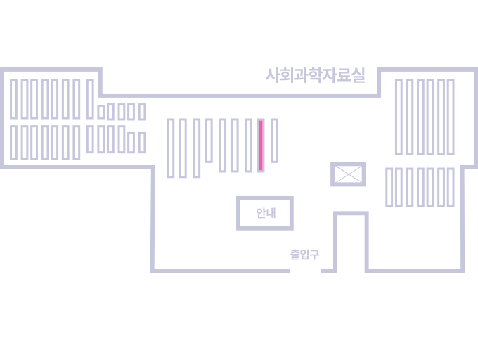
도서위치안내: / 서가번호:
우편복사 목록담기를 완료하였습니다.
*표시는 필수 입력사항입니다.
저장 되었습니다.