
 대표어
대표어
 https://www.iris-france.org/building-a-european-geospatial-intelligence-capability-mapping-initiatives-identifying-gaps-and-outlining-strategic-options/

권호기사보기
| 기사명 | 저자명 | 페이지 | 원문 | 기사목차 |
|---|
결과 내 검색
동의어 포함
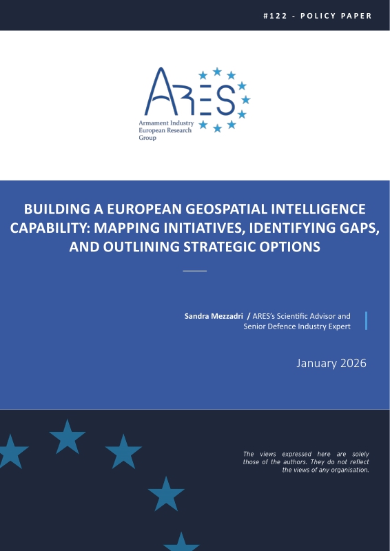
Title page 1
Contents 1
ABSTRACT 3
INTRODUCTION 4
THE STRATEGIC IMPORTANCE OF AUTONOMOUS GEOSPATIAL INTELLIGENCE FOR EUROPEAN DEFENCE 5
EUROPE'S FRAGMENTED GEOSPATIAL INTELLIGENCE LANDSCAPE: CAPABILITIES AND GAPS 6
TWO SCENARIOS FOR EUROPE'S FUTURE GEOSPATIAL INTELLIGENCE CAPABILITY 10
CONCLUSION 17
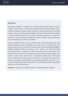
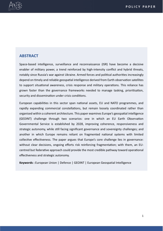
Space-based intelligence, surveillance and reconnaissance (ISR) have become a decisive enabler of military power, a trend reinforced by high-intensity conflict and hybrid threats, notably since Russia’s war against Ukraine.
Armed forces and political authorities increasingly depend on timely and reliable geospatial intelligence derived from Earth observation satellites to support situational awareness, crisis response and military operations.
This reliance has grown faster than the governance frameworks needed to manage tasking, prioritisation, security and dissemination under crisis conditions.
European capabilities in this sector span national assets, EU and NATO programmes, and rapidly expanding commercial constellations, but remain loosely coordinated rather than organised within a coherent architecture.
This paper examines Europe’s geospatial intelligence (GEOINT) challenge through two scenarios: one in which an EU Earth Observation Governmental Service is established by 2028, improving coherence, responsiveness and strategic autonomy, while still facing significant governance and sovereignty challenges; and another in which Europe remains reliant on fragmented national systems with limited collective effectiveness.
The paper argues that Europe’s core challenge lies in governance: without clear decisions, ongoing efforts risk reinforcing fragmentation; with them, an EUcentred but federative approach could provide the most credible pathway toward operational effectiveness and strategic autonomy.*표시는 필수 입력사항입니다.
| 전화번호 |
|---|
| 기사명 | 저자명 | 페이지 | 원문 | 기사목차 |
|---|
| 번호 | 발행일자 | 권호명 | 제본정보 | 자료실 | 원문 | 신청 페이지 |
|---|
도서위치안내: / 서가번호:

우편복사 목록담기를 완료하였습니다.
*표시는 필수 입력사항입니다.
저장 되었습니다.
